
Session 1, Read and notice: Looking at the whole world
Week 2 big question: What can a flat map and a raised model each tell us?
Start with a story (optional) Who's on Divya's Map? — Read it hereDivya draws a map with landmarks so her cousin Ravi can find his way.
A map or globe shows only some things.
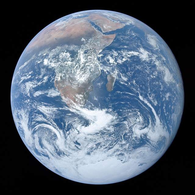
How could you fit the whole Earth on your table? A globe is a round model, while a world map spreads Earth’s surface flat. Mapmakers cannot fit every tree or house, so they choose what to show. Even the colors need a guide, because real water is not always blue. A key explains each map symbol so you can start to find your way.
Many maps name seven large land areas.
Look for seven continents, the huge land areas many world maps name. They are Africa, Antarctica, Asia, Australia, Europe, North America, and South America. Some are joined by land, so look closely at their names. Within a continent, you can find countries, like the United States in North America. Then look inside that country for California, one of its states. Your community is smaller still, so a map with nearby details helps.
Each view of a place shows us something new.
Follow the water around Earth, and you find one connected ocean. People often name five parts: Pacific, Atlantic, Indian, Arctic, and Southern. The Southern Ocean goes all the way around Antarctica. Our map names all five, though some older lists name four. Now try another view of a place, such as a raised model. Your fingers can feel a hill’s shape, while a picture shows its colors. A map helps you compare places, so each view gives you different clues.
Show what you notice
- Find California, the United States, and North America. How do their sizes compare?
- What could a raised hill model show? Could a flat picture show that as directly?
Answer your waypointact it outtell or dictatewrite